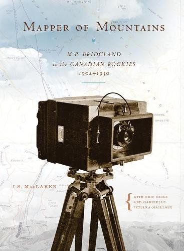
Mapper of Mountains M.P. Bridgland in the Canadian Rockies, 1902-1930
Dominion Land Surveyor Morrison Parsons Bridgland spent nearly every summer mapping the mountains of Alberta and British Columbia, climbing many of Canada's Rocky Mountains for the first time. This unheralded alpinist perfected photo-topographical techniques to compile a series of mountaintop photographs to create accurate topographical maps. Early tourists used his maps to explore the natural wonders of the eastern Rockies, and his book, Description of & Guide to Jasper Park (1917), told them what to go and see. How he made his photographs from the tops of mountains and even developed them while camped out in the wilderness are detailed in this biography, as are some of the trials and tribulations involved in that summer's survey. Mapper of Mountains also relates his involvement in the establishment and early years of the Alpine Club of Canada.